Digital innovation in the restoration of a historic swiss landmark: photogrammetry reshapes construction
05/06/2026
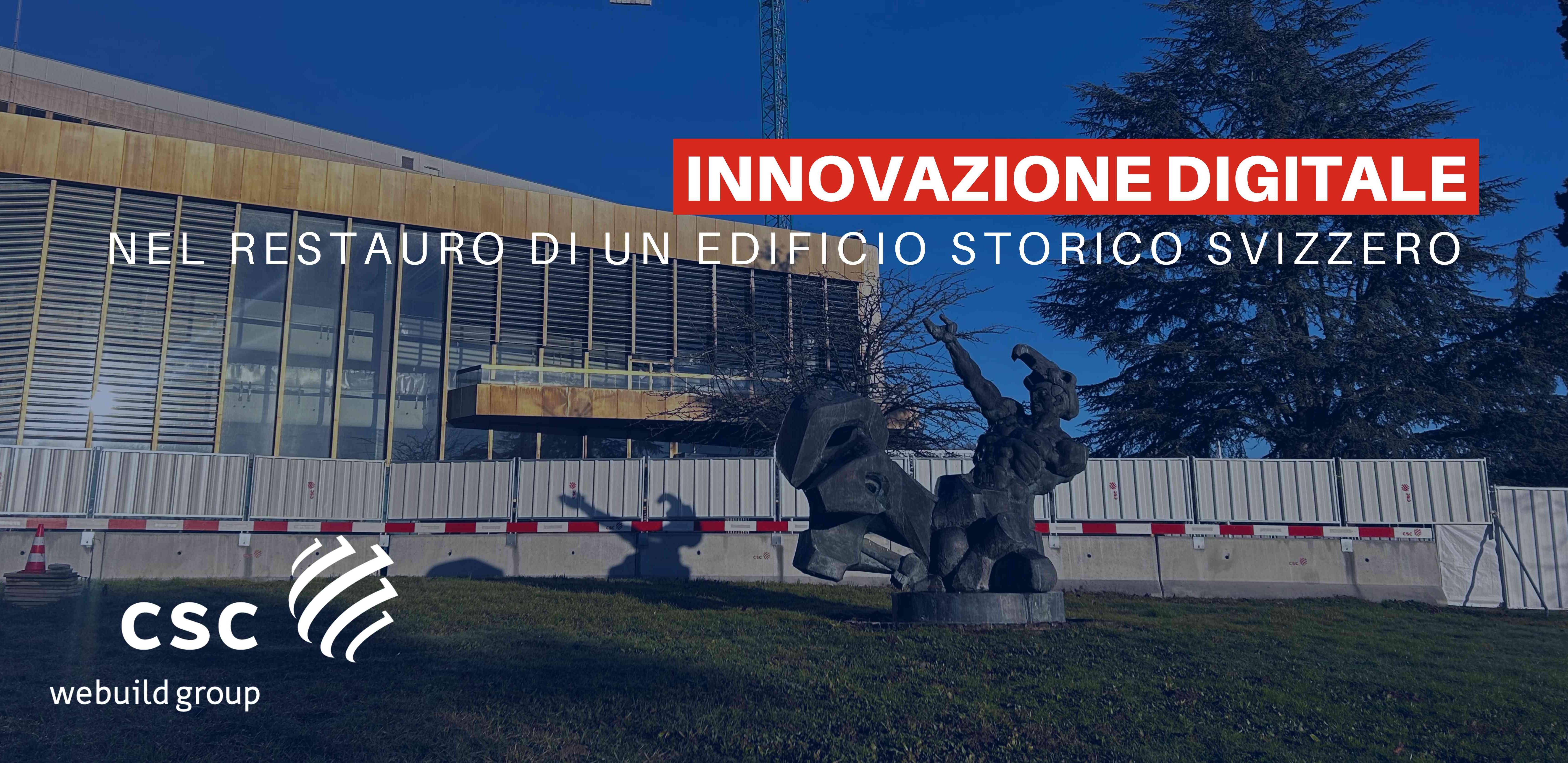
In Switzerland, the renovation of a historic building set to host international delegations is emerging as a benchmark for innovation in the Architecture Engineering Construction sector. At the center of this transformation is photogrammetry—now a key enabler in balancing heritage preservation with operational efficiency and digital integration.
- From traditional surveying to the “augmented jobsite”
Photogrammetry—the process of extracting 3D data from 2D imagery—allows project teams to capture the “as-built” condition of a structure with unprecedented speed and accuracy. Using drones and handheld devices, the physical site is transformed into a dynamic digital environment where every element can be visualized, measured, and shared.
For historic buildings, where architectural constraints and preservation requirements demand non-invasive methods, this approach ensures a precise documentation of materials, geometries, and MEP systems—supporting more informed design and intervention strategies.
- Transparency and control in complex projects
In projects involving international stakeholders, the ability to monitor progress visually and continuously is a decisive advantage. Regular photogrammetric surveys generate updated 3D models, enabling real-time alignment between on-site teams and remote decision-makers.
In parallel, rapid volumetric analysis—covering stockpiles, excavation, or material quantities—enhances cost control and resource planning, contributing to tighter project management.
- Safety and productivity: the role of UAVs
The use of UAVs (drones) introduces a significant shift in safety standards. Inspections of façades, rooftops, and hard-to-reach or unstable areas can be carried out without exposing personnel to risk, reducing both operational time and safety concerns—particularly critical in complex restoration environments.
- BIM integration: unlocking the value of data
The full potential of photogrammetry is realized through integration with BIM (Building Information Modeling). Within a “Scan-to-BIM” workflow, captured data is processed into georeferenced point clouds and compared against the “as-designed” model to detect discrepancies early.
The result is a continuously updated digital twin—serving as a single source of truth for engineers, contractors, and clients, and enabling faster, more accurate decision-making across all project phases.
- A new standard for heritage rehabilitation
Compared to other surveying methods such as laser scanning, photogrammetry offers a distinct advantage: photorealistic rendering. The inclusion of color and texture enhances interpretability, improving communication across multidisciplinary teams.
More agile and scalable, it allows large or complex sites to be documented quickly and updated frequently, an essential factor in keeping projects on schedule and within budget.
- From project excellence to group-wide innovation
This project exemplifies how advanced digital methodologies are being deployed on the ground to address the complexity of heritage restoration while meeting the expectations of an international audience. It also reflects the broader innovation strategy of Webuild, where the integration of cutting-edge technologies—such as photogrammetry, BIM, and digital twins—is reshaping the construction sector.
By embedding these tools into its building activities, the Group continues to enhance quality, safety, and efficiency across projects, positioning itself at the forefront of a new, data-driven approach to construction.