
Rethinking Construction Progress Monitoring
09/10/2026
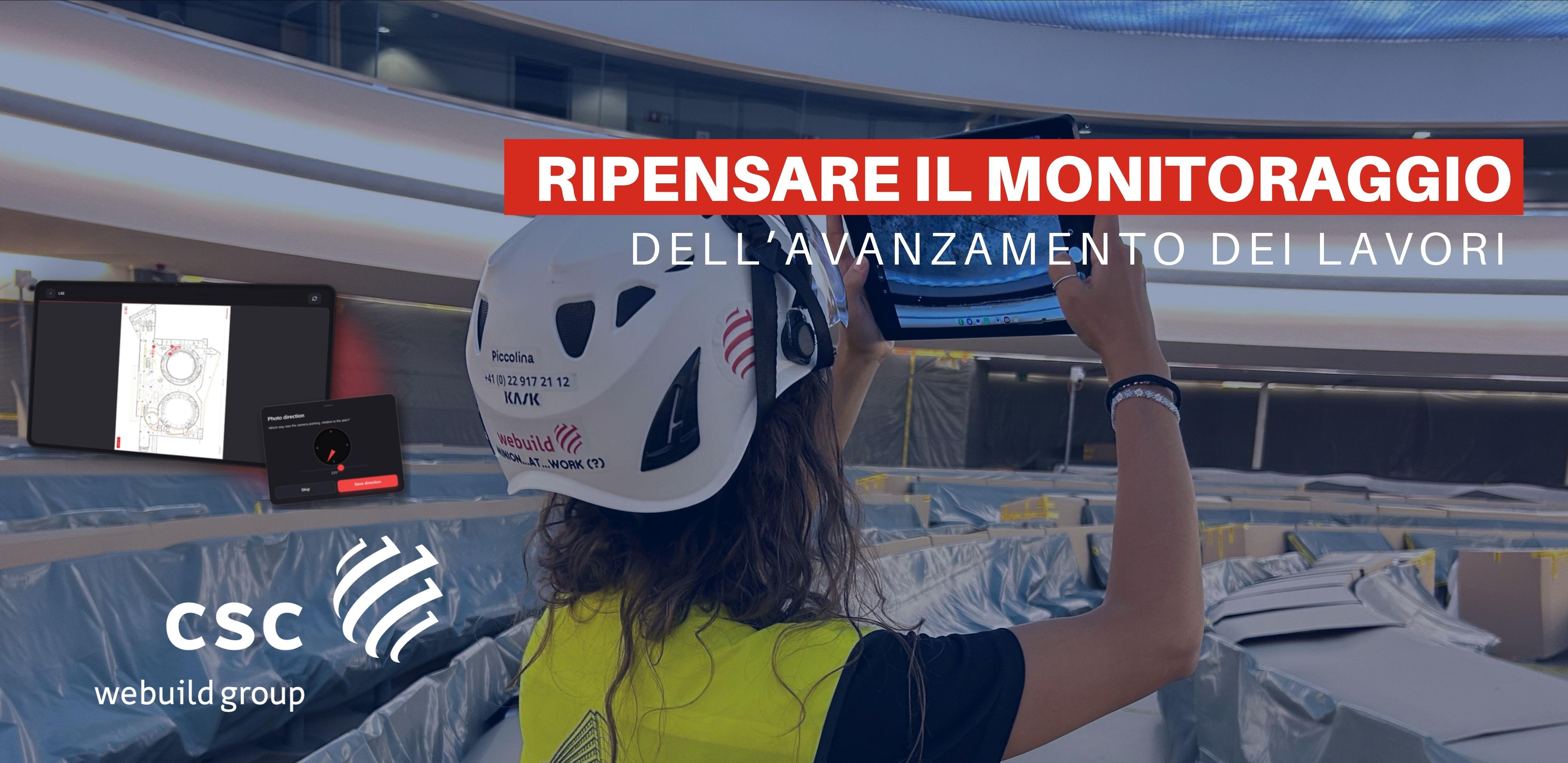
One Person, One Tablet, One Hour: Rethinking Construction Progress Monitoring
On a major project involving the renovation of a historic building in Geneva that hosts foreign delegations, a purpose-built digital solution is transforming the way construction progress is documented — replacing a fragmented, labor-intensive process with a streamlined workflow that delivers a complete report in less than an hour.
In construction, digital innovation is increasingly measured not by the sophistication of the technology itself, but by its ability to reshape the way work is performed: eliminating unnecessary manual processes, improving the reliability of information and enabling project teams to make better-informed decisions.
This is the rationale behind Site Photos, an in-house application developed to streamline the weekly photographic survey of the building and automate the production of the associated progress report.
What traditionally required a photographer and a draftsman, with an estimated 9 to 12 hours of combined effort, can now be completed by a single operator using a tablet — including the site walk — in less than one hour.
FROM FIELD SURVEY TO PROJECT INTELLIGENCE
Photographic surveys play a critical role in documenting construction progress, providing the Client and project teams with a reliable visual record of activities on site.
Yet taking photographs is only the starting point.
Under a conventional workflow, images must subsequently be downloaded, renamed, matched with handwritten notes, positioned on floor plans, assigned viewing directions and ultimately assembled into a structured report.
Site Photos brings these stages together within a single digital workflow.
The survey conducted on 4 September 2026 provides a representative example: 14 floors, 50 survey locations and 50 photographs were transformed into a 66-page report on the same day, complete with interactive floor plans and fully referenced photographic documentation.
The value lies not simply in accelerating an existing process, but in eliminating much of the administrative work that traditionally surrounds it.
TURNING TIME SAVINGS INTO OPERATIONAL VALUE
The productivity impact is particularly clear when the traditional workflow is broken down into its individual components. With Site Photos, the complete process is carried out by one person in less than an hour.
Across approximately 50 weekly surveys over the course of a year, this represents a potential saving in the region of 400 to 500 working hours.
But the significance extends beyond a simple calculation of hours saved. By reducing repetitive and administrative tasks, the solution allows project resources to be redirected towards activities where technical expertise, interpretation and decision-making create greater value.
TECHNOLOGY DESIGNED AROUND THE REALITIES OF THE SITE
The application has deliberately been designed around a simple principle: technology should adapt to the way people work on site, rather than adding another layer of complexity.
The workflow is straightforward: select the position on the plan, take the photograph and record its orientation.
Accessible from both tablets and smartphones and installed directly through a web browser, the application also operates offline — an important feature in a large and complex building where network connectivity may vary from one area to another.
Floor plans are uploaded once, in PDF format, with one plan corresponding to each level.
During the survey, the operator selects their position directly on the plan. The camera then opens immediately, while the application automatically creates a numbered location marker — Loc01, Loc02 and so on — and associates the photograph with it.
A digital compass records the camera orientation, which is subsequently represented on the plan by a viewing cone. This provides the reader with an immediate understanding not only of where the photograph was taken, but also of precisely what it is intended to show.
FROM WEEKLY SNAPSHOTS TO A CONTINUOUS RECORD OF PROGRESS
Each weekly survey constitutes a new reporting cycle. Rather than starting from scratch, the application carries forward the previous week's configuration of survey points.
The result is a consistent photographic record of the same locations over time, making changes in construction progress easier to identify and compare.
Locations can be repositioned as the configuration of the building evolves, while completed or inactive floors can be greyed out and locked. A progress counter also tracks the number of photographs captured against the target — approximately 50 per survey.
What emerges is more than a collection of weekly photographs: it becomes a structured and longitudinal record of project progress, built around consistent locations and standardised information.
WHEN THE REPORT BUILDS ITSELF
Once the survey is complete, the operator simply selects Export.
The application automatically generates a ZIP archive containing both the finished PDF report and the complete image set.
The report includes a branded cover, key summary figures, a contents page and the floor plans for each level. Every plan displays the relevant location markers and viewing directions.
The markers are interactive: clicking on a location takes the reader directly to the corresponding photograph, while each photograph provides a link back to its source plan.
The images are automatically documented with the information required for traceability — floor, location and capture time.
File management is standardised as well. Images are resized to a consistent format and renamed according to a predefined convention.
The resulting media folder can then be transferred directly to SharePoint, without manual renaming, sorting or further processing.
FROM DIGITALISATION TO A DIFFERENT WAY OF WORKING
The experience demonstrates a broader principle of digital transformation in construction: the greatest gains do not necessarily come from introducing increasingly sophisticated technologies, but from rethinking the processes around everyday project activities.
By bringing data capture, spatial positioning, image management and reporting into a single workflow, Site Photos turns a recurring administrative task into a structured, standardised and immediately usable process.
The underlying proposition is simple: less manual input, fewer intermediate steps and more time devoted to analysis, site management and decision-making.
As construction projects become increasingly information-intensive, the ability to capture reliable data at source and convert it rapidly into usable project information is becoming a fundamental component of operational performance.
In this context, Site Photos illustrates a broader shift in construction digitalisation: technology is most valuable when it becomes almost invisible — embedded directly into the way teams work, rather than added on top of it.